Bardineto Trail Area
Area: Val Neiva
Max. Altitude: 1,400 m+
Terrain: Forest Soil / Rock
Trails: Naturals and Flow
Average difficulty: S2 – S3
Area: Val Neiva
Max. Altitude: 1,400 m+
Terrain: Forest Soil / Rock
Trails: Naturals and Flow
Average difficulty: S2 – S3
Mountain Biking in Bardineto
Browse the area
Enduro Trails, Shuttle Rides & Guided MTB Tours
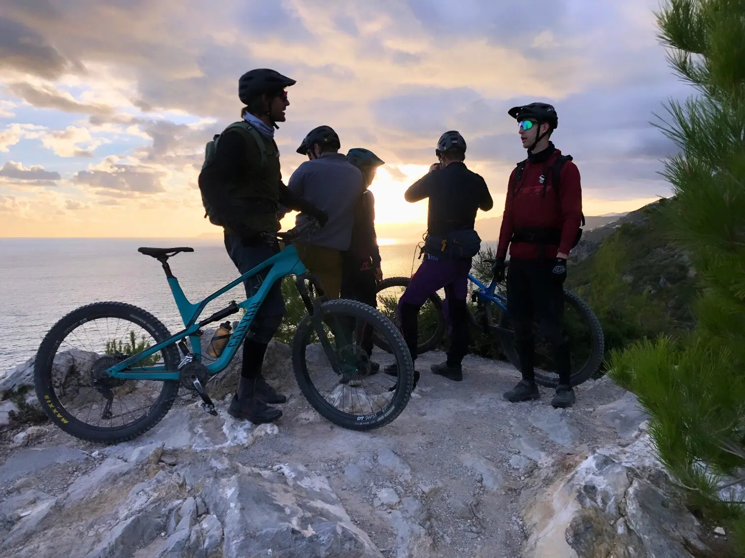
Bardineto represents the high-altitude component of the Finale Outdoor Region. Characterized by dense beech and chestnut forests, the area provides a riding environment distinct from the coastal sectors. The trail network is defined by longer descents and a reliance on natural features, offering a technical experience focused on forest-based trail navigation and varied elevation profiles.
Area
The trail infrastructure in Bardineto utilizes a combination of ancient mountain paths and specialized enduro routes. Unlike the coastal areas, the terrain here is defined by significant vertical gain and expansive wooded landscapes. The area serves as a primary destination for riders seeking cooler, high-altitude conditions and a technical riding experience isolated from coastal traffic.
Terrain
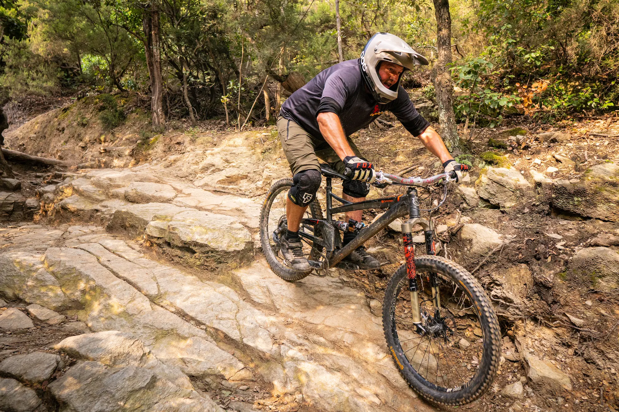
The substrate consists primarily of deep forest soil mixed with quartz-rich rocky sections and root networks. Unlike the pure limestone of the coast, the soil composition in Bardineto is more prone to retaining moisture, which provides excellent traction during dry periods but necessitates adaptive riding techniques during or after precipitation. The terrain is largely forested, providing consistent canopy cover across the majority of the trail network.
Trail character
The riding experience is centered on long, natural descents through dense forest sections. Trails are characterized by technical transitions, natural switchbacks, and varying cambers. The riding rhythm is influenced by the terrain’s topography, which requires precise handling to manage natural obstacles such as roots and embedded rocks. The trail design emphasizes technical flow and adaptation to changing forest surface conditions.
Best mountain bike trails in bardineto
trail name
difficulty
type
distance
descent
Rollercoaster
Toboga di Canova
Cà Bianca
Madonna della Guardia
Madonna
Cacciatore
Kill Bill II
Ingegnere
Crestino
Isallo Extasy
Revenant
flow
flow
tech
raw
fast tech
tech
flow
flow
flow
flow
6,40 km
4,40 km
6,40 km
0,81 km
6,40 km
1,10 km
3,10 km
6,40 km
6,40 km
6,40 km
4,40 km
4,40 km
4,40 km
4,40 km
4,40 km
4,40 km
4,40 km
4,40 km
4,40 km
4,40 km
Best time to ride
Spring / Autumn: These periods offer stable temperatures and consistent ground moisture, representing the optimal timeframe for trail usage.
Summer: High-altitude terrain provides a critical thermal refuge. The dense forest canopy and increased elevation create a significantly cooler microclimate compared to coastal zones, making this the primary sector for summer riding.
Winter: Due to the high elevation, temperatures are significantly lower than on the coast. Trails are subject to seasonal snow cover and frost; access is limited and dependent on specific environmental conditions.
How to ride bardineto
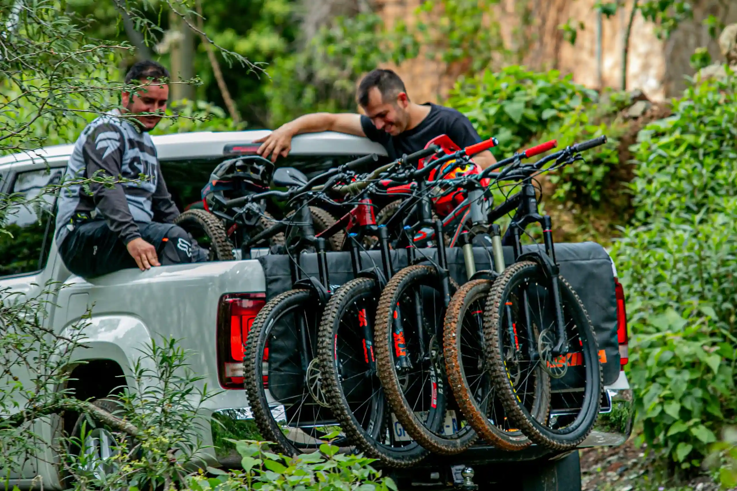
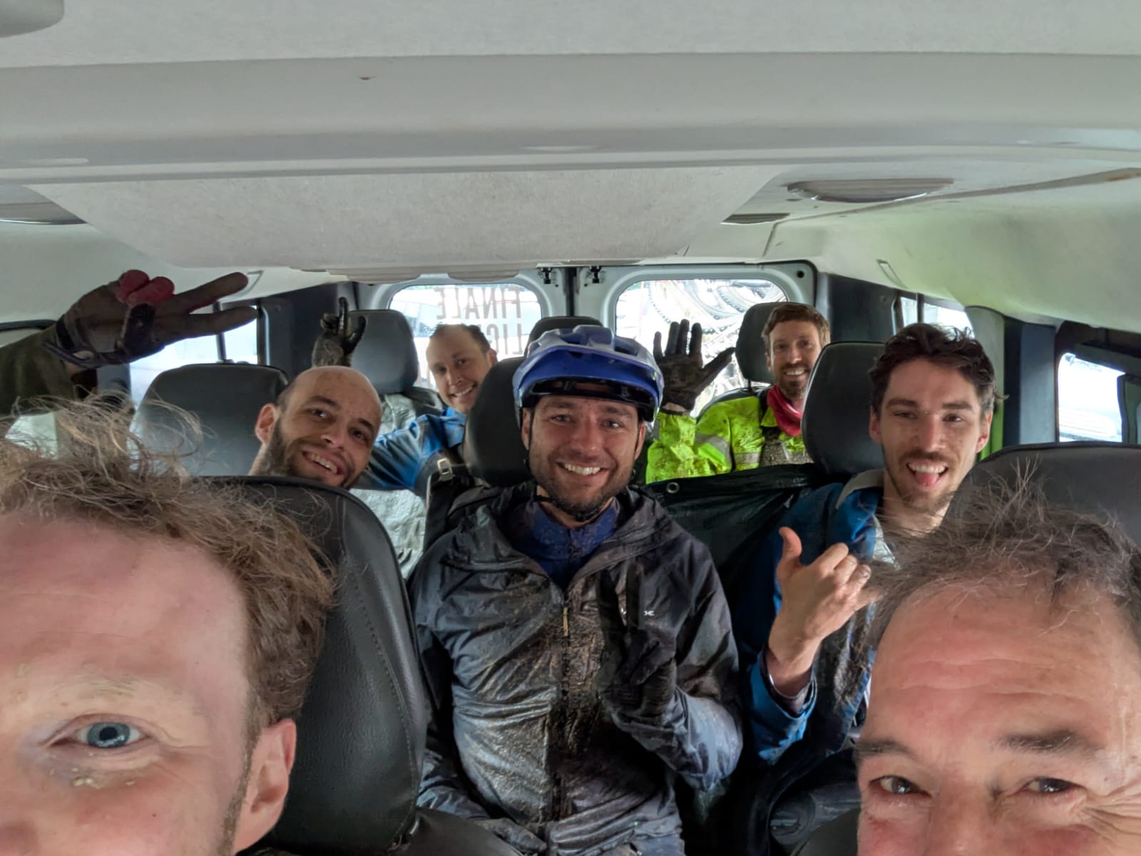
The trail network is accessed via a combination of public municipal roads, authorized fire tracks, and private shuttle routes. Independent access via pedaling is feasible, though the elevation gain and trail density often necessitate motorized transport for logistical efficiency. Trail maintenance and signposting are managed by local outdoor associations in collaboration with regional land management authorities.
Plan your ride
The Bardineto sector requires advanced logistical preparation due to its elevation and remote nature. Riders should account for temperature variance and moisture retention characteristic of high-altitude forest ecosystems. Navigation is supported by regional trail signage, though GPS mapping remains a critical tool for route management.
Explore our guided tours, private guiding and shuttle services to experience the Finale Ligure Outdoor Region with local experts.